December 5 marks the first anniversary of the Regional Shoreline Adaptation Plan (RSAP), unanimously adopted by the San Francisco Bay Conservation and Development Commission (BCDC) to help local Bay Area governments prepare for sea level rise.
What began as an ambitious, collaborative effort has quickly transformed into a powerful movement with local governments, community partners, and regional leaders all rowing in the same direction.
In 2023, California reached a major milestone by enacting Senate Bill 272: Sea level rise: planning and adaptation (Laird, 2023), which requires regional and local action to address rising sea levels. This new law marked a watershed moment for the region. It prompted BCDC to develop the RSAP, integrating diverse shoreline priorities into a comprehensive, region-wide vision for resilience across the San Francisco Bay.
The RSAP bases local planning on the best available science, links it to funding, prioritizes on-the-ground adaptation projects, and advances innovative policy. It also provides guidelines for cities and counties to create subregional shoreline adaptation plans that align local decisions with regional goals. The RSAP guidelines are centered around the One Bay Vision—a community-driven vision for successful regional shoreline adaptation—and eight strategic regional priorities.
Launching Into Action
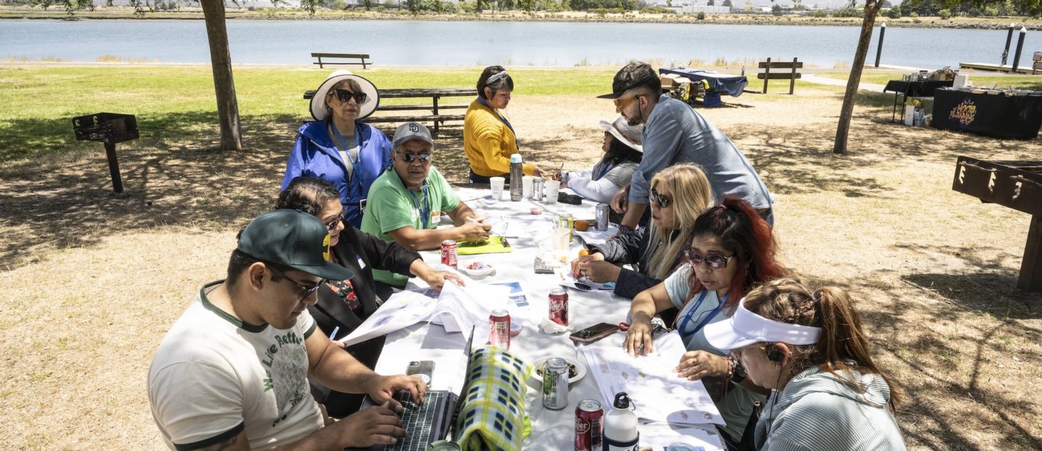
Over the last year, BCDC has hit the ground running to help local governments launch their subregional adaptation planning. Staff conducted extensive outreach across the Bay to explain SB 272 requirements, connect local leaders with planning tools and funding opportunities, and build momentum for community-centered, locally driven planning.
A major highlight was the RSAP Summer Outreach Tour, which reached representatives from 46 jurisdictions through presentations, one-on-one meetings, and a four-part webinar series attended by over 340 participants.
Check out the webinars on BCDC’s YouTube page and in the resource library!
Building the Tools Local Governments Need
To help cities and counties meet their requirements, BCDC created toolkits and resources that explain the SB 272 process and support local governments in starting their sea level rise planning.
Resources Library: Gives local governments easy access to templates, guides, and planning materials. More materials will be developed and added in 2026!
RSAP Atlas: One of the most exciting tools released this year, the RSAP Atlas is an online data and mapping tool that includes 65% of the data needed to develop a subregional plan, from coastal hazards to asset exposure analyses.
Bay Adapt Currents: A data-driven dashboard that provides up-to-date and relevant data about sea level rise adaptation in the San Francisco Bay region.
Additionally, each county and its cities have access to a BCDC subregional liaison to answer questions, facilitate coordination, and provide ongoing support. And we’re just getting started; the toolkit will continue to grow and evolve as new data and insights emerge.
And check out the Bay Adapt Impact Report for information on adaptation plans and projects happening all across the Bay Area.
Looking Ahead
What we’ve long known in the Bay Area is now confirmed by state law: adapting to sea level rise is not optional. Coordinated action is the key to faster, effective, equity-driven action around the region.
One year in, the groundwork for long-term success is firmly in place. While the journey ahead will be complex, the energy, commitment, and collaboration demonstrated by local governments and communities provide strong reasons for optimism. Across the region, partners are working toward a more resilient, connected, and equitable Bay shoreline—one that supports people, ecosystems, infrastructure, and future generations.
furosemide 20 mg price
furosemide 20 mg price
sildenafil moa ph
sildenafil moa ph
viagra origin
viagra origin
stendra pills price
stendra pills price
dapoxetine online store
dapoxetine online store
sémaglutide oral sans ordonnance
sémaglutide oral sans ordonnance
fincar tablet side effects
fincar tablet side effects
sildenafil 50mg images
sildenafil 50mg images
doxycycline hyclate for acne reddit
doxycycline hyclate for acne reddit
tadalafil 5mg photo
tadalafil 5mg photo
compounded liraglutide b12 reviews
compounded liraglutide b12 reviews
reddit orlistat experience
reddit orlistat experience