A Year In, the Impact of the Regional Shoreline Adaptation Plan in the Bay Area
December 5 marks the first anniversary of the Regional Shoreline Adaptation Plan (RSAP), unanimously adopted by the San Francisco Bay Conservation and Development Commission (BCDC) to help local Bay Area

Rising Together 2025: A Recap of the Bay Adapt Summit
Rising Together was a dynamic and immersive sea level rise summit that engaged the public in inspiring panels, keynotes, tours, activities, and workshops designed to forge partnerships and drive action.
People Resources and Links – Bay Adapt Impact Report
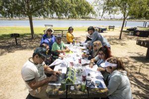
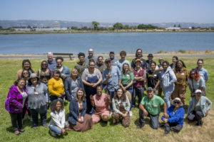
People Across the Bay Area, there is a growing movement to elevate the voices of communities most vulnerable to sea level rise. Recent years have seen a surge in community-based
Progress Resources and Links – Bay Adapt Impact Report
Progress Lastly, one of the key components of ensuring adaptation is successful is being able to track progress and learn from what our progress—or lack of progress—is telling us about
Projects Resources and Links – Bay Adapt Impact Report
Projects Even while adaptation planning gets off the ground, projects are not only being planned, but in various stages of design, funding, testing, construction, and monitoring. Measure AA, which passed
Plans Resources and Links – Bay Adapt Impact Report
Plans Building on the mandates of SB 379 (2015) and SB 272 (2023), a majority of cities and counties have already started to plan for sea level rise adaptation. While