Add page content here.
What is the Bay Area's Regional Shoreline Adaptation Plan
A Q&A with Jaclyn Mandoske, BCDC's Senior Climate Adaptation Planner
- By: Annie Sneed
- | January 9, 2024
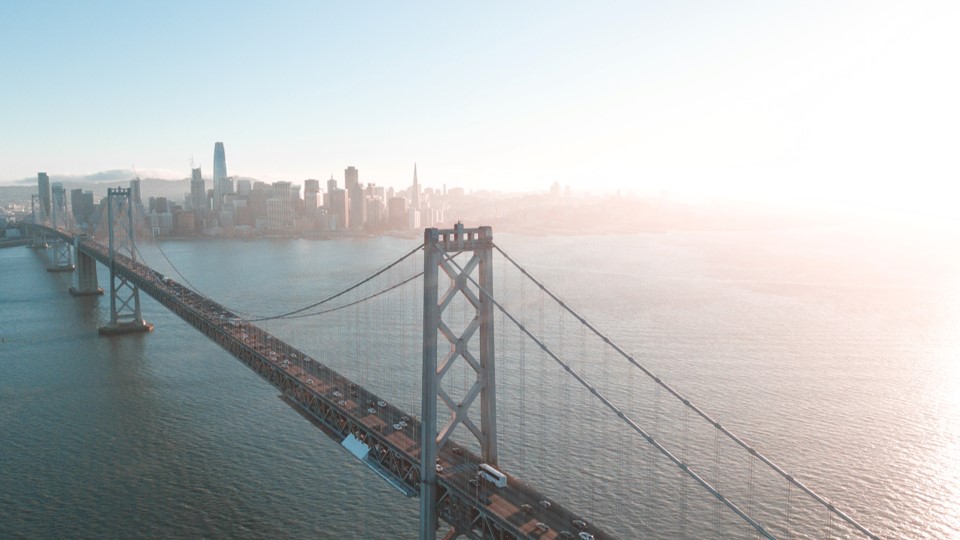
The Bay Area faces an immense challenge with climate change. By 2100, the region could experience up to seven feet of sea level rise along its approximately 1,000-mile shoreline. However, this challenge also presents our region with an opportunity for profound change. As the Bay Area prepares for sea level rise, we have the chance to improve how we plan long-term for our cities and counties, how we support our neighbors and local ecosystems, and how we adapt. This change is closer than ever with the passage this year of California Senate Bill 272 Sea Level Rise Planning and Adaptation (Laird, 2023), which mandates the creation of subregional shoreline resiliency plans for both California coastal zones and the Bay Area shoreline.
To help accelerate this change throughout the Bay Area, BCDC is supporting and coordinating adaptation planning through the Regional Shoreline Adaptation Plan (RSAP). BCDC spoke with our senior climate adaptation planner and project manager for the RSAP, Jaclyn Mandoske, about why the Bay Area needs coordinated regional planning, how BCDC is engaging local communities and stakeholders in the planning process, and how she hopes the RSAP will shape the future of the Bay’s shoreline.
An edited version of our conversation follows.
What is the Regional Shoreline Adaptation Plan (RSAP) and what will it result in?
The RSAP has multiple components: a set of guidelines that lay out standards for sea level rise adaptation planning along the Bay shoreline, shoreline resiliency plans developed in “subregions” throughout the Bay, and an online mapping tool that knits together the guidelines and adaptation strategies identified in the subregional plans. The mapping tool will give us a comprehensive look at how communities plan to adapt the Bay shoreline to sea level rise.
Together, these components will help ensure communities prepare for sea level rise in ways that meet our shared regional goals. These goals include things like protecting vulnerable communities, ensuring the health of our Bay’s natural environment, and maintaining the connectivity of our region. The RSAP will help our region protect the things we love and care about in the Bay.
Why does the Bay Area need regional coordination for sea level rise adaptation?
The San Francisco Bay is a big estuary, and the communities that surround it are divided into nine counties and 101 cities, of which 47 include portions of the Bay shoreline. We live in a connected system and water doesn’t care about our jurisdictional boundaries—it moves where it wants. If sea level rise adaptation isn’t planned together, jurisdictions can potentially harm their neighbors by pushing floodwaters from one part of the Bay to another. This reality requires us to work together in completely new ways.
Cities and counties around the region also have different levels of risk and resources to address these challenges. Regional coordination can ensure nobody gets left behind and that vulnerable places, particularly those with underrepresented and underserved communities, have resources and plans in place to protect themselves and prepare for the future. We want to work together and ensure that our success as a region is shared.
How did the RSAP begin?
In 2011, BCDC updated the San Francisco Bay Plan, our guiding policy document that determines how we permit shoreline development, to include climate change. The update called for the creation of a regional shoreline adaptation plan and in the decade since this policy was adopted, BCDC has taken a leading role in sea level rise adaptation planning through collaborative partnerships with cities and counties. Those partnerships have focused on identifying vulnerabilities and developing adaptation strategies. Today, we know more about the threats of sea level rise, so there’s a real sense of urgency and need for a regionally coordinated strategic approach.
In 2020, we launched an initiative called Bay Adapt to bring together Bay Area local leaders from different sectors to talk about what the region should do. BCDC published the Bay Adapt Joint Platform in 2021, which identifies several actions the region should take to accelerate adaptation plans and projects. The RSAP helps implement multiple tasks in the Joint Platform by creating a shared regional vision and coordinating local planning within the region. In 2022, we received funding from the Ocean Protection Council and the California State Coastal Conservancy to develop the RSAP.
What does the timeline for the RSAP look like?
We’re currently in the phase of developing the first component: the RSAP guidelines. This phase began in 2023 and will last until the end of 2024. Following the adoption of the guidelines, we’ll provide policy and technical support to help local jurisdictions follow these guidelines, so they can turn them into subregional shoreline plans that help the region achieve its goals.
Who is involved in the RSAP?
It’s important to engage many stakeholders throughout the region in the RSAP guideline development because this is a massive issue and it affects every corner of society. BCDC’s Commissioners will ultimately approve and adopt those guidelines. Our Local Electeds Regional Task Force, which includes two local elected officials from each county, are poised to become champions of this project in their own jurisdictions.
We also have an expert advisory group, which includes practitioners from many different sectors and areas of expertise, including environmentalists and ecologists, local government planners, representatives from the business sector, utilities, transportation, community-based organizations and more from across the region. This group also includes five environmental justice and equity representatives, who represent vulnerable and disadvantaged Bay Area communities, to ensure that we’re meaningfully embedding equity principles and practices throughout this process.
How is the public participating in the RSAP?
In fall 2023 we attended ten community “pop up” events, many of them in vulnerable communities, to introduce folks to the RSAP and share a survey to capture their values and vision for the Bay Area’s future. At these events, we talked to a whole range of people with varying levels of knowledge about shoreline adaptation—from those who had never heard of sea level rise to council members who are deeply familiar with the issue. Throughout the project we plan to continue engaging with local communities so that we can make sure voices around the region are heard.
How do you intend to balance diverse community needs and priorities in the RSAP, such as social equity, the environment, and the economy?
This is a major challenge with climate change, but we will develop guidelines to guide users through decision-making that prioritizes strategies with multiple benefits across all these areas. We want to reduce the perceived dichotomy of, for example, strategies that protect the environment or the economy. There doesn’t always have to be an ‘either/or,’ we need to start thinking about adaptation as an opportunity for ‘both/and.’ Climate adaptation will require trade-offs, but the RSAP guidelines will help people evaluate trade-offs so that protecting people, habitats, and our economy long-term is more appealing—so it is the better option for people to choose.
What are subregional shoreline resiliency plans?
Senate Bill 272 only lightly defines what a “subregional shoreline resiliency plan” should look like, so we are currently defining what it is: what the plan contains, how we define the scale of “subregional,” and how jurisdictions can apply guidelines to comply with Senate Bill 272. In the next few months, we will work with stakeholders and practitioners in our advisory group to develop this definition and identify how the RSAP guidelines can be applied in the subregional plans.
A lot of cities and counties already have or are developing plans likely very similar to what our subregional resiliency plans will be. We want to build on their work wherever we can. That is one of the strengths of our region—we have a lot of good practices and examples to build upon as we develop standards for the guidelines. The advisory group includes practitioners who already work on advanced sea level rise planning efforts locally. We are using their knowledge and experience to help develop the RSAP guidelines and define subregional plans.
Could the RSAP serve as a model for other regions, in the U.S. or elsewhere?
Our RSAP project is funded with the idea that the RSAP could serve as a model for other regions in California. I think our model can be applied to a lot of other places, because the climate hazards that communities face everywhere—sea level rise, wildfire, heat, drought—all have multi-jurisdictional impacts. Coordinating how governments work together is something we can all benefit from, no matter where you are or which climate hazards you’re facing.
How do you envision the RSAP will shape the future of the Bay?
With the RSAP, I see a future where Bay Area communities continue to have access to the water and natural habitats, and where we actually enhance the ecosystems around the Bay—from wetlands to oyster reefs and eelgrass beds to upland areas. I see a future where people have access to housing in areas not at high risk of flooding, and where our vital infrastructure like transportation, water, and sewage all function well even with sea level rise. It’s a future where we protect the things we care about while also recognizing that strategically moving away from the shoreline doesn’t have to be a bad thing—where we think about our communities as living places that can respond and adapt to change.
"Regional coordination can ensure nobody gets left behind and that vulnerable places, particularly those with underrepresented and underserved communities, have resources and plans in place to protect themselves and prepare for the future. We want to work together and ensure that our success as a region is shared."
- Jaclyn Mandoske, Senior Climate Adaptation Planner at BCDC
Other Recent Posts

Annie Sneed
Annie is an Environmental Scientist working in the Adapting to Rising Tides program at BCDC. She is supporting the Regional Shoreline Adaptation.